Over New Years I decided to use my three-day weekend to tackle the Batram / AT Loop, a 55 mile route I found via All Trails: https://www.alltrails.com/trail/us/north-carolina/bartram-and-appalachian-trail-loop
My mileages ended up being longer than the supposed track, though I did get turned around on the second day, and backtracked a good third of a mile, thinking I had gone off trail. I finished with:
Day 1: 23.19 miles
Day 2: 25.08 miles
Day 3: 13.80 miles Total: 62.07 miles I tracked this with an older Garmin Forerunner, so there is that! : )
I didn’t write anything for day 1, as I was completely worked by the time I got into the Wesser Bald Shelter. It was lightly raining with winds gusting to 25mph, when I rolled into the shelter around 10pm. Here are the write-ups for day two and three:
Bartram / AT Loop Day Two:
I woke in the Wesser Bald Shelter on New Year’s Day, to a woman startled to find me there. Before I could speak, she bashfully retreated back to her tent, backpack in tow. Dawn was cresting the far ridge, so I deflated my pad and set to packing as noisily as possible. I wanted to subtly hint to my neighbors that I was both awake, and open to company. I could see headlamps moving about in two of the three nearby tents, so I hoped the relentless gusts would direct them to the log walls and steel roof I now occupied.

Within twenty minutes all three of the women were sharing the shelter’s standing table, each of them arriving in succession to my greeting and questions. In just a single night on the AT I had reverted to hiker-trash extroversion. The first was somewhat along for the ride with her friends, though through this trip she had reunited with her brother for the first time in a decade.
“I had no idea he was even into this stuff, but he shuttled us to Burningtown Gap, then he hiked with us to the tower!”
Apparently I had given her quite the start when I rolled into camp at 10pm. She told me that when my headlamp beam turned from white to red as I passed her tent, she recognized that I was “a hiker and not a crazy person.”
(Note: Switching your beam from white to red is considered good etiquette around other hikers at night. It gives the user enough light to see with, but does not spotlight tents or disturb those who might be sleeping in shelters the way that even a dimmed white light will. When assessing patients in wilderness rescue, keep your white light on! –A lesson we learned at SOLO SouthEast, when we missed a major bleed during one of our night scenarios, and dangerously misinterpreted the EVAC priority of our four casualties.)
The second woman, who’s name I also fail to recall, arrived soon after and explained that the bars she was pulling out of her pack were given to her by Nimblewill Nomad.
“THE Nimblewill Nomad?” I asked.
“Oh yes, he’s a friend of ours. We live in Alabama, not far from Flagg Mountain. This company supports him and sends their bars.” She explained.
I’ll blame the delayed affect of my morning coffee, when I explain that the name of these bars too, I have forgotten. We chatted for a time about his Backpacker Radio interview, which they had also listened to on their ride up.
“He’s quite over the fanfare, I can tell you!” Woman Two said finally.
The third woman to arrive was introduced to me by the others as “the prospective thru-hiker.” Her name was Striker, and I remember it because I was watching her strike camp when it was told to me. Of the ladies, probably in their early fifties, Striker looked to me the youngest, and by degrees the most enthusiastic. She related to me that she had been singing while hiking in the rain the day before, which I confirmed was a sign she should hike the whole trail.
“I’m hoping to start in the Spring of 2024, which gives me plenty of time to train and test my gear. Also, for my husband to wrap his head around the idea.”
“Ah! The real challenge.” I smiled and she laughed.
Despite being the most delightful breakfast with strangers I had had in ages, I had to be off. I bid the ladies farewell, knocking on the wooden shelter post on my way out to “knock on wood” that “the rain might clear today.” They appreciated the gesture, though thankfully they were headed down to the NOC for showers and a real bed.
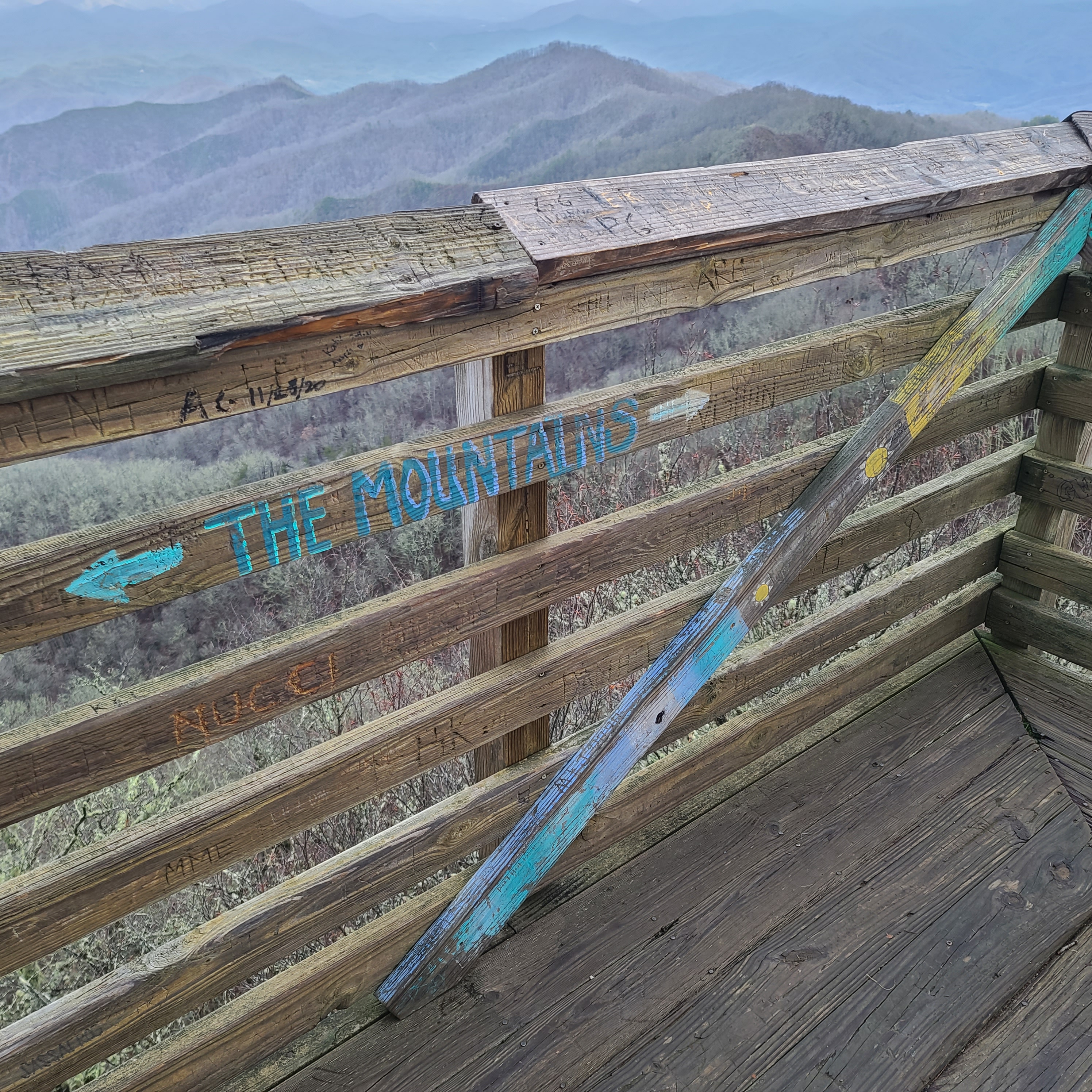
I filled my bottles at the spring a little south, and took in the view on the Wesser Bald observation tower. I watched rays of sunlight stream down onto the peaks at intervals, until the wind and nagging time drove me back below treeline.
The only problem with taking dates to your favorite backpacking spots is that post-breakup you pass those places again. Though my memories at Wayah Bald Shelter left me with a laugh and smile as I stopped there for lunch. The relief I had that neither of us froze to death that night, matched the relief I felt today that one of my best backpacking buddies is still a friend. I passed the cozy camp spot at Wine Spring with a similar warmth in my chest. Though a pang of loss accompanied that one, like an after-taste on a finely brewed beverage in need of some mystery ingredient. What that missing element is exactly, I have spent many more than just this hiking day trying to discern.
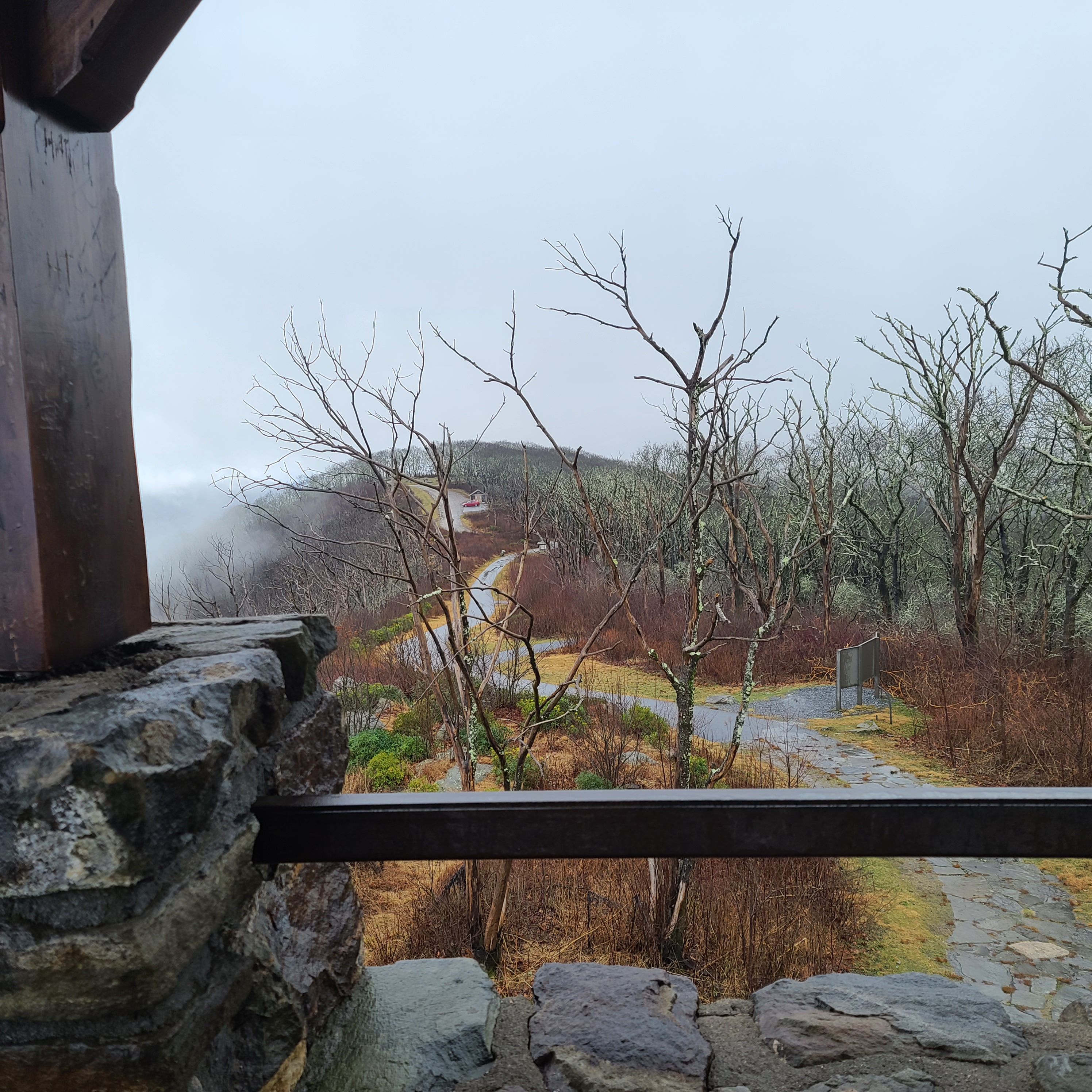
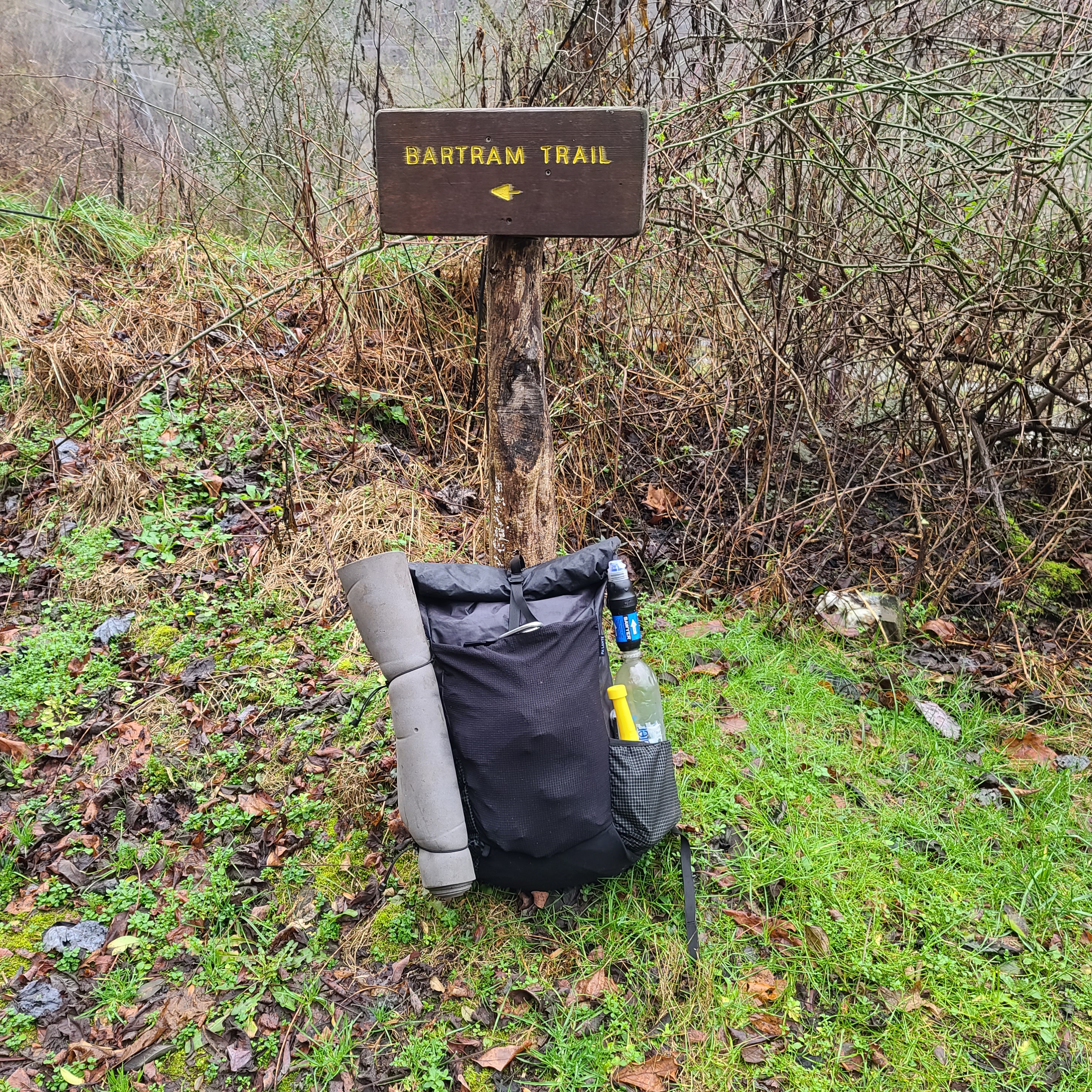
After braving the gusts for the view from Wayah Bald’s stone tower, I took the right turn at Wine Spring onto the Bartram Trail proper. Leaving memories behind, I stepped forward in favor of unexplored ground.

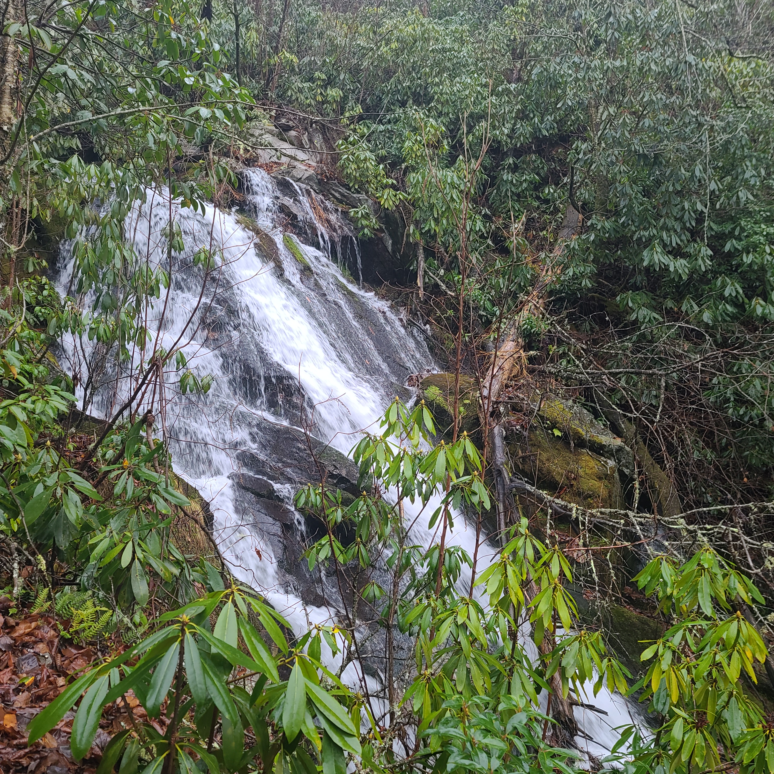
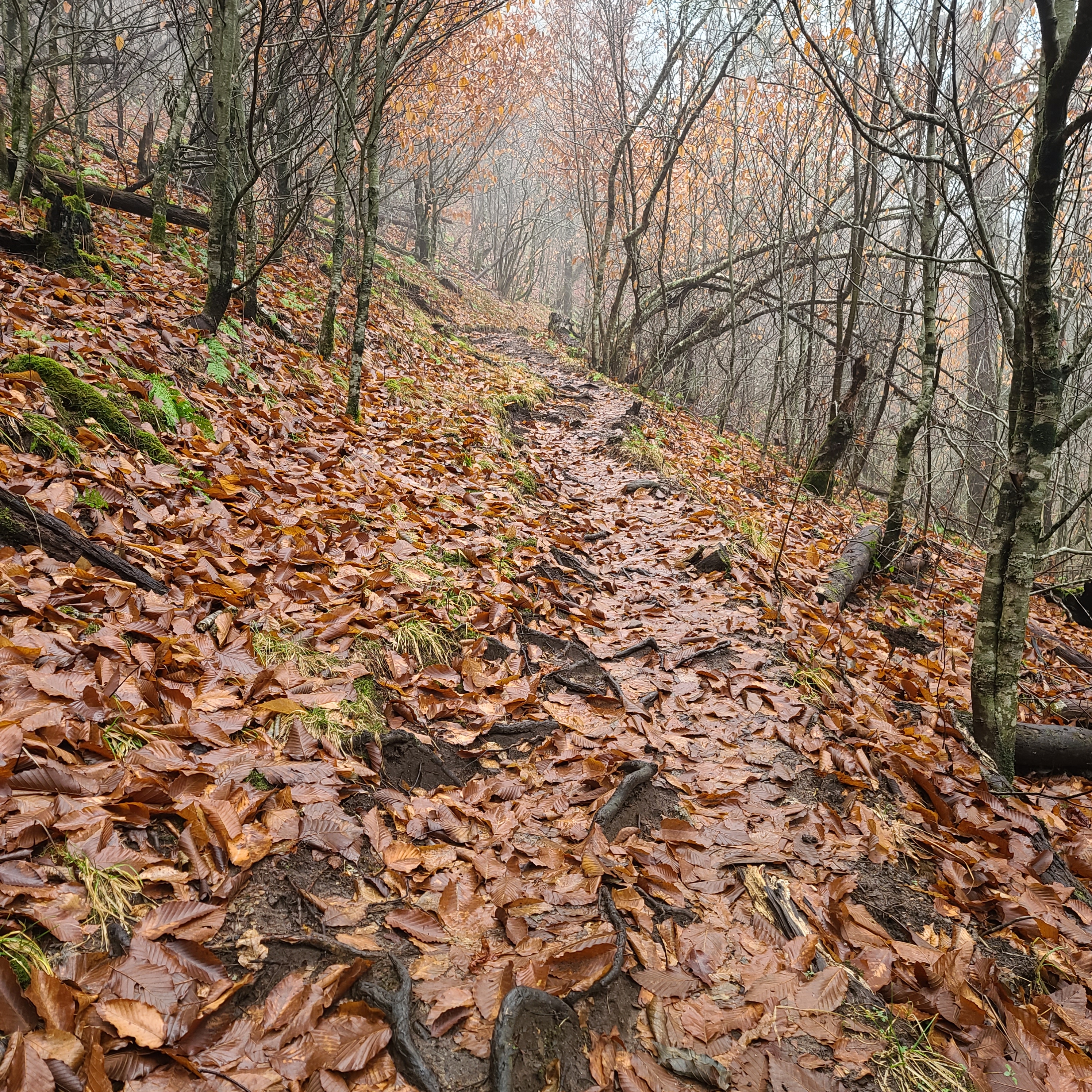
One difficulty with the Bartram Trail is its bipolar relationship to water. In some sections you are inundated, literally wading through cascade after cascade, but in other sections it eludes for miles. Similarly, human-sized, level ground abounds in some places, and is nonexistent for miles elsewhere. Rarely do water and level ground meet, making the most common phrase of the guidebook “campsite, no water.”
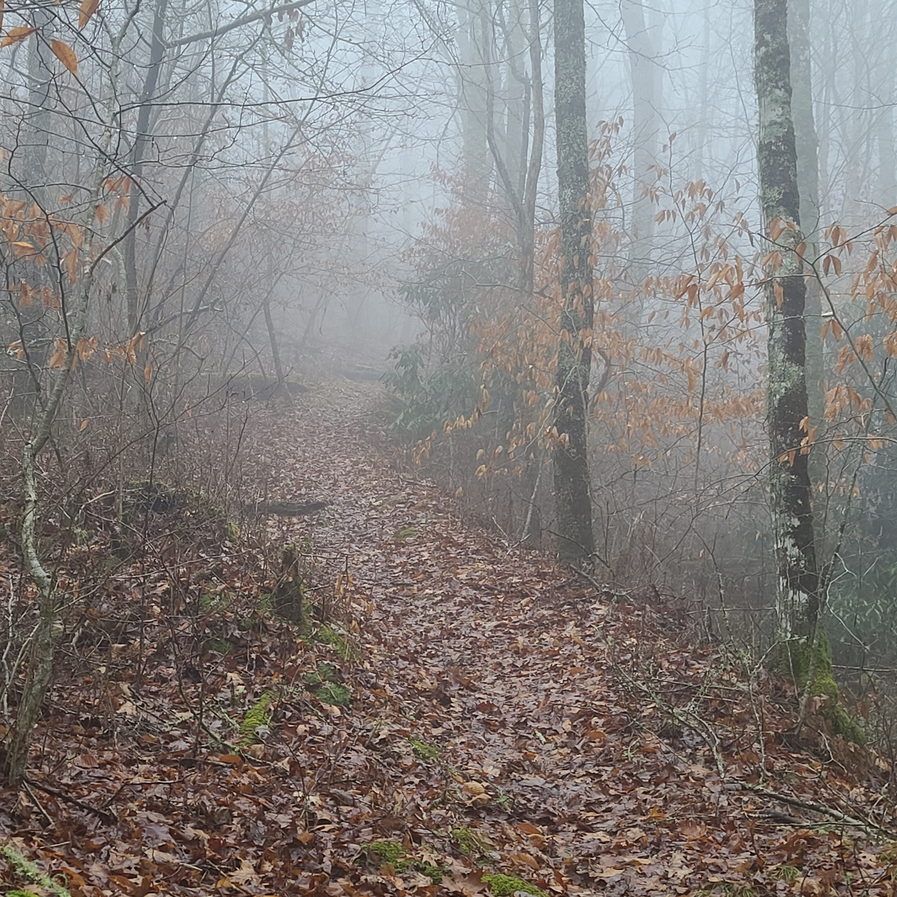
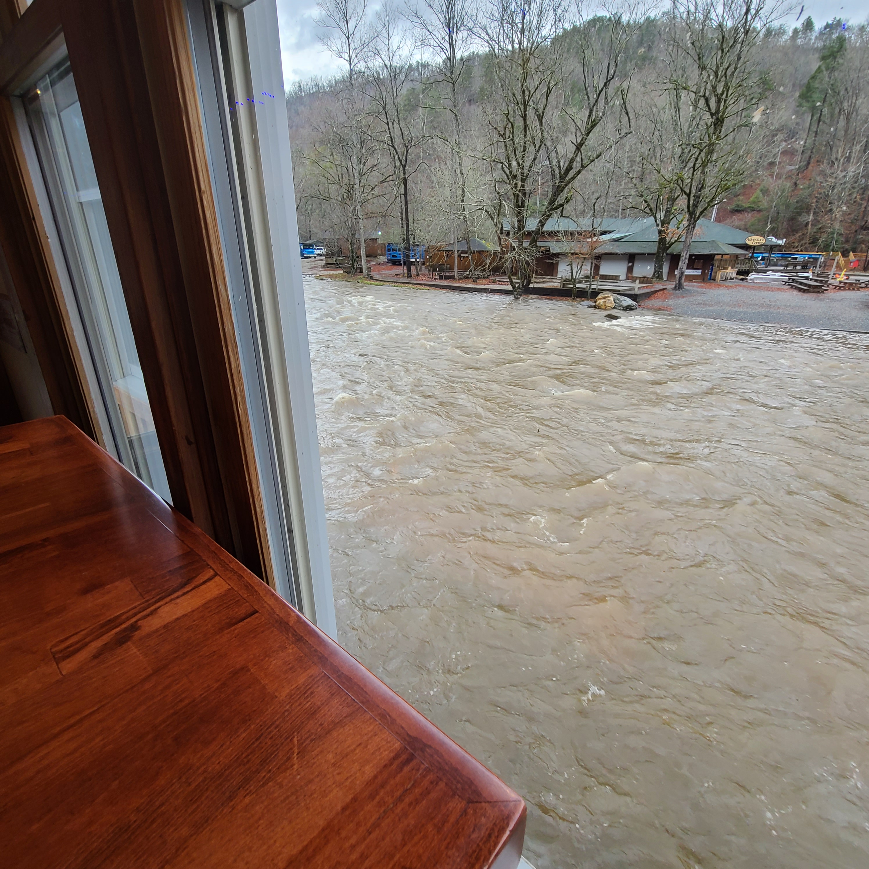
I hiked into the night and refilled my water just before the road walk around Nantahala Lake. Hitting this section on an ink-black overcast night was a mistake, and I’ll have to return sometime for proper views. I got lost mistaking a marina outpost for the store listed in my guidebook. The store hides a trailhead around back, but this outpost sent me along a string of rental cabins. The party inside one I could hear for three tenths of a mile, and the occupants were none the wiser as I quite visibly wandered the periphery, headlamp on looking for blazes. When I found the trail and began to ascend the ridge, I could hear their cabin for another half mile.
When I made it to camp it was windy, and I couldn’t quite read the landscape. The guidebook spoke of a waterfall, which I could hear but could not see. It also warned that this was not a water source, a sheer cliff separating this rare flat ground, and the rare water of its babbling course. Yet another “campsite, no water” meeting my eyes in print.
I had a bad feeling pretty much immediately as I tried to pitch my tarp. I selected a nestled cove on the far edge of the opening, shielded on one side by a four foot berm. On the other side I had a bank of rocks and rhododendron ascending twenty five feet or more. Nevertheless, the wind howled through as if I were on a bald. Thankfully the ground was that perfect mix of thick, sticky, and soft, so every stake made good purchase. I used the whole bag of them.
The rain came while I sat on a rock to cook, and by the time my water boiled I realized this was going to be another hammerfall like the storm at the shelter the night before. I dropped my noodles in and retreated under canvas, damning any wandering bears as I drew the food bag in too. I sat on my bivy and watched the nylon bow in at me from the windward side. Despite a tight pitch, rocks on the stakes, and cloth on one rock to avoid abrasion, I knew I was pushing the shelter’s limits. After twenty-five miles I refused to take another step, and this was home for the night, even if a shortly-lived one.
I crawled in a got cozy, belly full of pasta and awareness on the drops hitting overhead. Beats on a tight, and hopefully strong drum. As I had many times on the AT during bad storms, I promised to myself that I’d relax and sleep. Any floods would be dealt with, but for now they were a future problem.
Bartram / AT Loop Day Three:
Flashes of light stirred me from a dream near two in the morning. In the far distance thunder reverberated down a mountainside, but the sound and light were comfortably spaced from each other. The central intensity of the storm was far from my camp, but the rain stirred up again, and the wind with it. The leeward side of my tarp had now become windward, but the two open ends were still well protected by the landscape. After a quick dampness check at the corners of my bivy, I laid back again and rolled to the opposite side. The small enclosure had shifted slightly off center on the wet leaves, but the generous cut of my tarp shielded the new layout. My little nest was impossibly cozy given the chaos mere feet away, and before I could dwell on this I was out again in dream-filled slumber.
At dawn I sat up, and enjoyed the luxury of having a food bag right next to my head. Legs still shrouded in delicious warmth, I sat up to make a cereal breakfast of granola, water, and vanilla Carnation mix. I heard the forest dripping around me, and the intermittent gusts, though they lacked the intensity of last night’s torrents.
I often imagine my legs protesting to me on long hikes. Always in a toddler voice they say things like “why we do this?” and or they just gently sob. Somewhere in the miles yesterday, my legs had learned the “F-word.” More precisely, my Achilles tendons had, and they were using their newly found diction like rowdy forth graders. I pointed my toes and winced at the stiffness that settled in while I slept. I reached for the guidebook to get an accurate count on today’s milage, but first I had to get my contacts in. To my surprise the right one was torn, explaining yesterday’s discomfort. Somewhere in the past few trips I depleted the spare pair in my first aid kit, and so I faced the day as a cyclopes.
The pages told of road walks, miles of them with many turns. My car was just shy of fourteen miles away. Yesterday I travelled tweny-five, and a bit over twenty-three on the previous day. My body was worked, but I slept surprisingly well during the previous night’s deluge. I was slow to pack camp, not leaving cover until the tarp itself had to be stowed, which is one of the great advantages of this shelter in rain. After making one last sweep for forgotten items, I approached the cliff and finally enjoyed the view of the cascading waterfall I had heard the night before.

I passed under a pipeline of some kind, then crossed the highway to a huge National Forest campground. Compared to the rugged terrain of the past two days this spread like a golf course. Manicured and fenced, it contained such civilities as pavilions with picnic tables, even bathrooms.

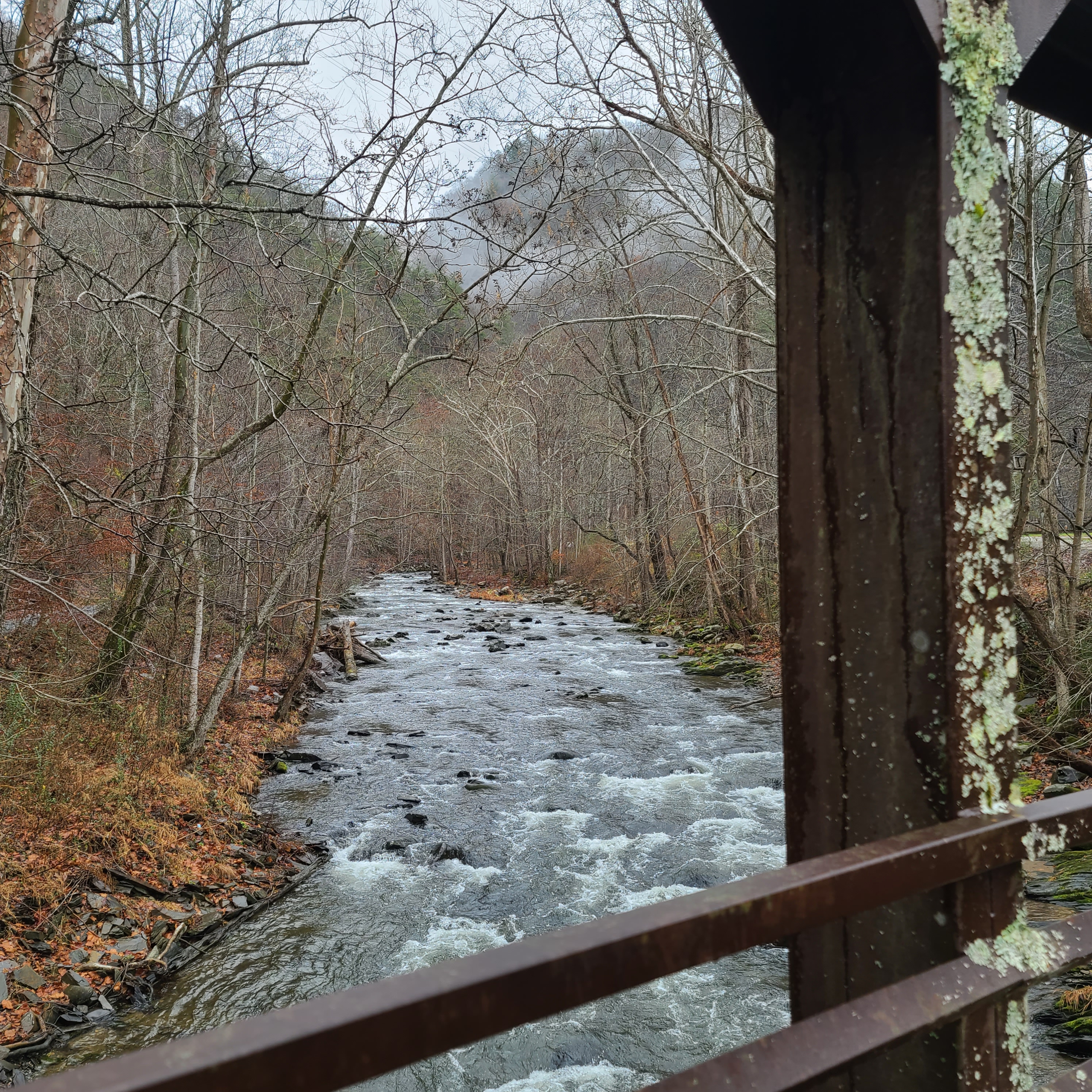
I hit the first road walk in less than half a mile, and my aching calves were grateful for calm and even terrain. I passed many homes, and tried to clear what blow-downs I could off of that first gravel road. The only person I saw on trail that day was a man in a cowboy hat taking his two plump Pomeranians for their morning walk. They were well across the river from me, but the dogs barked as though I were a grizzly invader from the hills. The man waved to me with a hand above his embarrassed countenance, and tried to settle them.
I continued on a short stretch of trail near the Nantahala River, and the rest of the day was a mix of gravel roads, disused dirt roadbeds in the mountains, and intermixed patches of trail.
At one point, the trail took a sharp right turn to avoid and enormous column coming out of the ground ahead. The object reminded me of some of the strange features found on the island in the TV show Lost. When on closer observation, I noticed the ladder cage on the side, and realized the trail led to the base, I decided I’d climb this tower. Unfortunately, I arrived to a padlocked and barbwired impasse, so I decided against it. There was an ominous sign warning about radio wave exposure, and besides, I didn’t want my legs to learn anymore expletives!


Two miles down the tower’s service road I found my car safe and slightly cleaner than I left it two days before. Given all the blow-downs hurdled on the way out that day, I made a mental note to park away from trees next time. The Floridian in me always seeks to park in shade. My car survived a tree fall last year. Asking it to do this twice is a bit much.
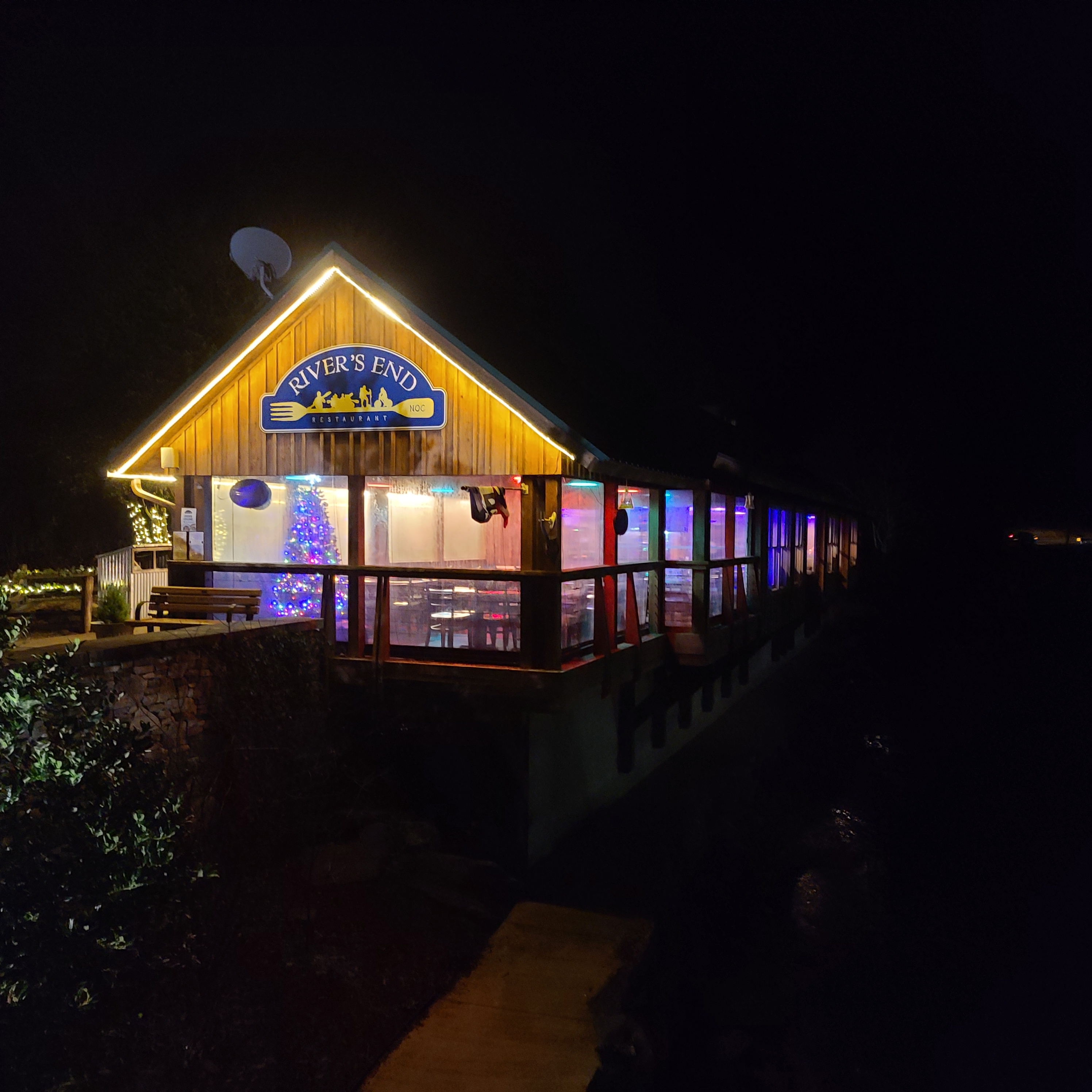
I made for the NOC and devoured their Wesser burger long before it occurred to me to photograph it. On the way back to my car I passed the general store and recognized a teenager sitting on the bench.
“I see you and your dad made it in okay?” I pointed to his father’s pack on the bench next to him. He simply nodded and smiled confirmation. I had met the pair the day before, just north of Wayah Bald shelter. They were on day five of a ten day section, and I was relieved they’d be under a roof tonight. The forecast called for a twenty degree overnight low.
I had received a text mid-morning from my friends Tracy and Sai, though they had sent it the evening before. Cell range was particularly spotty in the final third of the loop, which may have been a good thing, because their offer to shelter me would have been tempting. Tracy and Sai are the real deal. There are few greater pleasures than when friends you adore date other friends you also adore. I thanked them via text and made for home.
There is a calm that arises after a long solo hike, and it lasted for a couple of days. I intended this hike to be an assessment for a much scarier challenge I am considering undertaking this spring. My body proved adequately strong, though mentally I am a bit scattered, and have been for some time. A fifty-six mile loop turned out to be sixty-two given my brief “geographical displacements” and a couple reroutes. If my legs fully heal within two weeks, I’ll be thru-hiking the Foothills Trail with my buddy George over four, grueling days. In the meantime, I need start making major decisions about how I’ll live my life this year. Time in the woods gave clarity on a couple points.